Service Overview
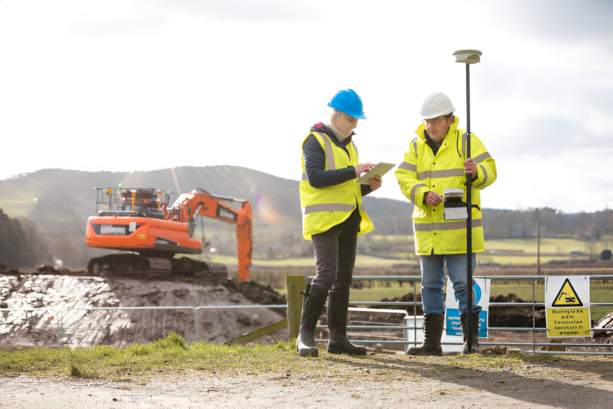
Conducting surveys using the latest technologies such as GPS devices, drones, and photogrammetry equipment to create accurate maps like topographic maps, geological maps, 3D maps, and digital maps, used in various applications such as urban planning.